The surveying and mapping drones replace the traditional surveying and mapping methods, which can greatly reduce the cost investment. At the same time, it also provides a perfect solution for the geographical environment factors. The flying height of the UAV is as low as 50m and as high as 1000m. Compared with the traditional measurement technology, UAVs have a wide range of applications and have better flexibility. For example, geological disaster prediction, geological analysis of mining areas, surveying and mapping of some dangerous areas, drones can make these work more smoothly.
● Support 3C fast charging customization service ● 300+ cycle life times ● With higher and more stable discharge platform ● -30 ℃, maximum 3C discharge performance ● Full range of battery product certifications | ● Lighter weight under the same specifications ● Higher energy density of 200Wh/kg ●Operating temperature range: -30℃~60℃ ● Smaller internal resistance, better charging and discharging efficiency due to the stacking process ● Perfect after-sales service |
Mapping and Surveying UAV Soft Pack Battery
Mapping and Surveying UAV Smart Battery
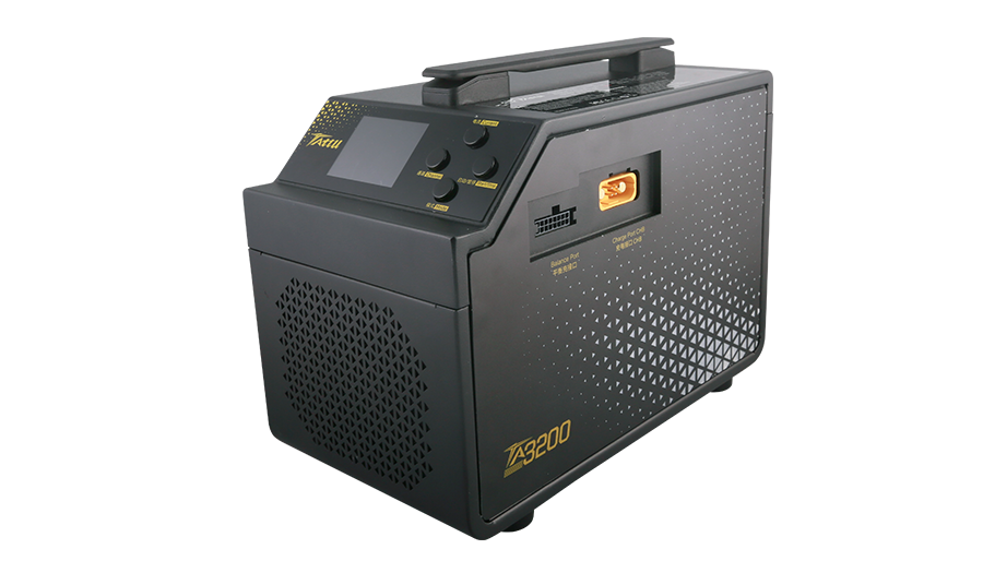
Mapping and Surveying UAV Battery Charger
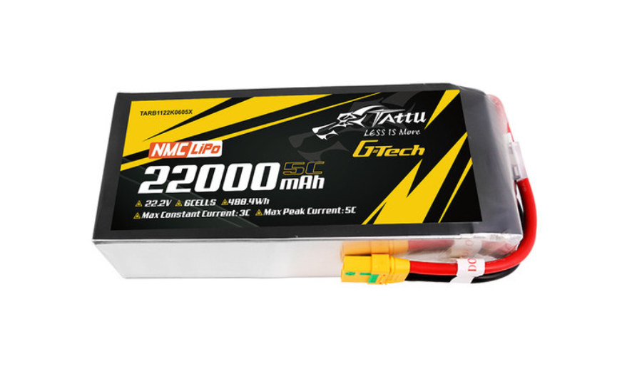
● Higher Energy Density up to 320Wh/Kg
● Support1C Charging
● Safe Discharge to 3.0V/cell
● Suit for Heavy Payload and Long Endurance Mapping and Surveying Mission
No. | Battery Model | Dimension(±5mm) | Weight(±20g) |
1 | 186x71.5x55mm | 1444g | |
2 | 189x76x58mm | 1800g | |
3 | 191x76.5x64mm | 2250g | |
4 | 204x92x65mm | 2500g | |
5 | 206*90*65mm | 2525g | |
6 | 212*90.5*132mm | 4900g |
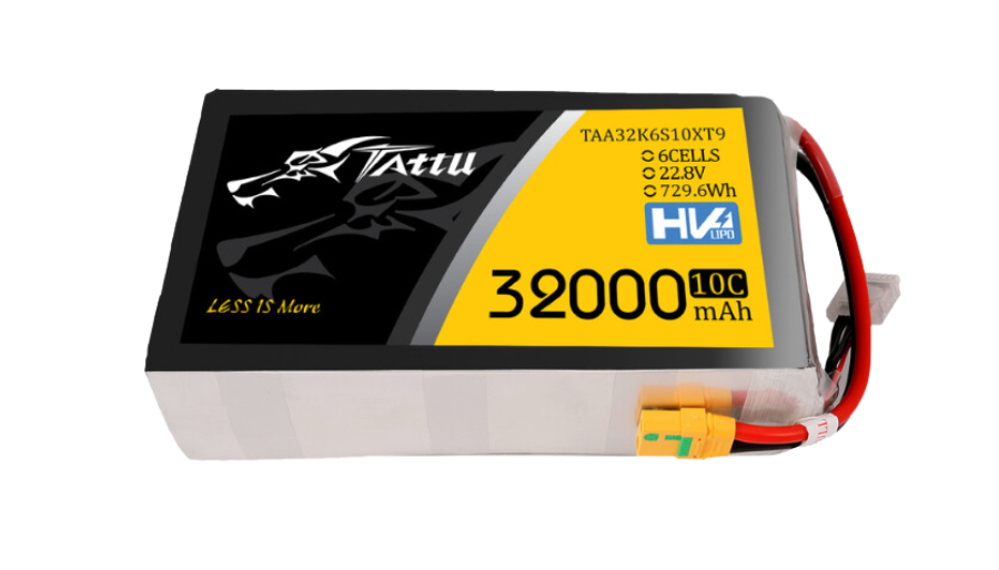
● High Energy Density up to 240Wh/kg
● High Voltage 4.35V/Cell
● Support 1C Charging Rate
● Safe Discharge to 3.6V/Cell
● Suit for Long Endurance Mapping Mission
No. | Battery Model | Dimension(±5mm) | Weight(±100g) |
1 | 176x65x56mm | 1350g | |
2 | 194x77x62mm | 1847g | |
3 | 208x90x63mm | 2473g | |
4 | 207x92x63mm | 2525g | |
5 | 216x125x61mm | 3494g | |
6 | 261x124*64mm | 4292g |
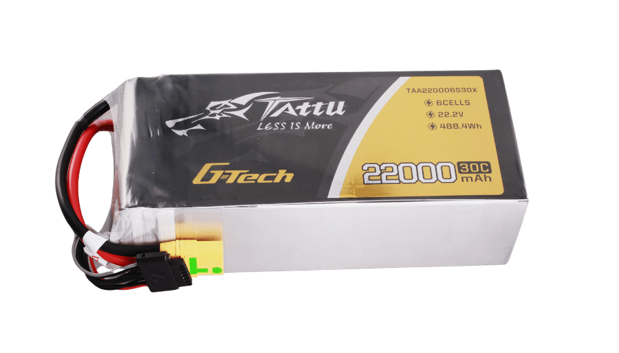
● High Energy Density up to 210Wh/Kg
● Support1C Charging Rate
● Safe Discharge to 3.6V/Cell
● Suit for Heavy Payload Multirotor Mapping Drone
No. | Battery Model | Dimension(±5mm) | Weight(±100g) |
1 | 192x77x66mm | 2000g | |
2 | 206x91x61mm | 2460g |
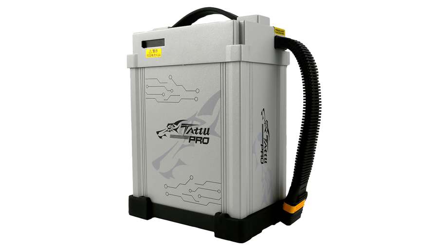
● Full Aluminum Metal Structure Design
● 3C-5C Fast Charge Rate
● Optimized Heat Dissipation
● Molex and AS150U-F Connector Optional
No. | Battery Model | Dimension(±5mm) | Weight(±100g) |
1 | 224x90x164mm | 4550g | |
2 | 234x116x172mm | 5750g | |
3 | 238x117x174mm | 7200g | |
4 | 238x117x174mm | 6300g | |
5 | 238x117x174mm | 7350g |
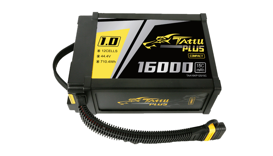
● Upgraded Frame Structure Design
● Lightweight Characteristic
● DroneCAN Protocol Enables the Compatibility of Ardupilot/PX4
● Intelligent BMS Simplify the Operation
No. | Battery Model | Dimension(±5mm) | Weight(±100g) |
1 | 152x82x220mm | 2800g | |
2 | 224x163x90mm | 4250g |
The TA1000 light show drone battery charger supports 1-7 cell LiPo and LiHV batteries, with AC input and max charging current of 25A*2, offering users more flexible charging options. Suitable for RC models, FPV, and light show drones, the TA1000 includes comprehensive protection features such as over-temperature, over-current, overcharge and reverse polaarity protection to ensure charging safety.
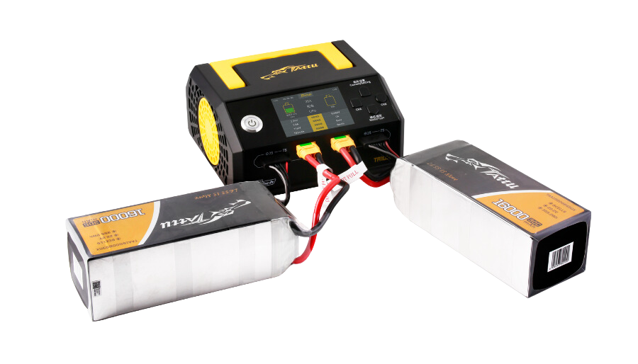
TA3200 is a dual-channel smart charger that can automatically identify Tattu smart battery information and achieve plug-and-charge without manual parameter setting. At the same time, the charger is also compatible with non-intelligent soft pack batteries, and you only need to simply set the charging current and mode. It has functions such as over-temperature, over-current, overcharge and disconnection protection, and monitors the battery status in real time during charging. TA3200HV is a high-voltage version and supports high-voltage lithium battery charging to 4.35V.
