


Drone Mapping vs. Drone Surveying: What’s the Difference?
Drone technology has revolutionized the way we capture and analyze spatial data, leading to innovations across multiple industries, from construction to agriculture. Among the many applications of drone technology, drone mapping and drone surveying are two closely related yet distinct practices. Both involve capturing aerial imagery and data, but they serve different purposes, utilize different techniques, and offer varying levels of precision. Understanding the differences between drone mapping and drone surveying is crucial for professionals seeking to leverage this technology effectively in their respective fields.
What Is Drone Mapping and How Does it Work?
Drone mapping is a remote sensing technology used to create 2D and 3D maps of an area using data from sensors mounted on a drone or UAV (Unmanned Aerial Vehicle). Its core technology is typically photogrammetry, which involves making measurements from images. During drone mapping, the drone flies autonomous missions, capturing a high overlap of images to generate detailed, life-like maps and models. These maps contain embedded data that enable accurate real-world measurements, making them ideal for applications in land surveying, construction, agriculture, and urban planning.

What Is Drone Surveying and How Does it Work?
A drone survey is an aerial survey conducted using a drone equipped with cameras and sensors to capture high-resolution images and data. These drones often carry RGB, multispectral cameras, or LiDAR sensors to collect vast amounts of information efficiently. Each image is tagged with geo-coordinates from the drone's GNSS sensor, precisely indicating its location in space. For enhanced accuracy, the data is cross-referenced with known ground points using RTK (Real-Time Kinematic) or PPK (Post-Processed Kinematic) systems. This ensures precise alignment between the images and real-world locations.

Drone Mapping vs. Drone Surveying: What's the Difference?
Drone Mapping and Drone Surveying are closely related, but they serve distinct purposes and have different methodologies and outputs. Here's how they compare:
Drone Mapping
●Objective: Drone mapping is primarily focused on creating 2D or 3D maps of an area. These maps can be highly detailed, offering aerial views or topographical data.
●Process: A drone flies over an area, capturing a series of aerial images. Specialized software then stitches these images together to form a continuous map (either 2D orthomosaics or 3D models). The focus is on visual representation rather than precise measurements.
●Output:
2D orthomosaic maps (high-resolution, georeferenced images).
3D models (point clouds, mesh, digital terrain models (DTMs), or digital elevation models (DEMs)).
●Applications:
Agriculture (crop monitoring);Urban planning; Environmental conservation; Construction site monitoring; Marketing purposes (real estate).
Drone Surveying
●Objective: Drone surveying is a more precise and technical use of drones for measurement and data collection. It is used to gather geospatial data for accurate, real-world analysis.
●Process: Similar to drone mapping, drones capture aerial images, but in this case, they also collect georeferenced data using Ground Control Points (GCPs) and, in many cases, advanced sensors such as LiDAR or RTK (Real-Time Kinematic) and PPK (Post Processed Kinematic) systems. This ensures the measurements are extremely accurate.
●Output:
Highly accurate 3D models.
Survey-grade elevation models.
Topographic maps with precise georeferencing.
●Applications:
Land surveying for construction or infrastructure development; Mining operations (volumetric calculations); Precision civil engineering; Environmental and terrain analysis.
Key Differences
●Accuracy: Drone surveying prioritizes measurement accuracy (with GCPs and RTK/PPK), while drone mapping emphasizes creating detailed maps that may not require survey-grade precision.
●Technology: Surveying often uses advanced sensors like LiDAR for accurate terrain modeling, while mapping relies more on photogrammetry.
●Use Cases: Drone mapping is for general visualization, monitoring, and analysis, while drone surveying is for projects needing precise measurements, like engineering and construction.
●Both methods are essential, but drone surveying offers higher accuracy for projects that require it, whereas drone mapping focuses on creating visually rich and sometimes less precise data.
Conclusion
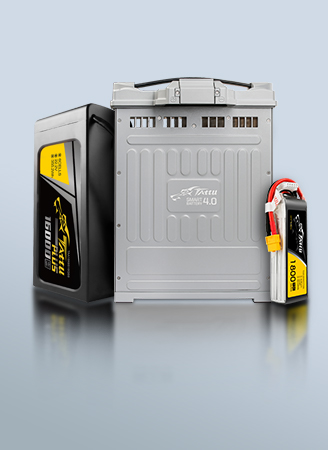
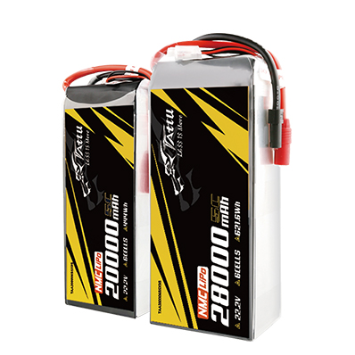
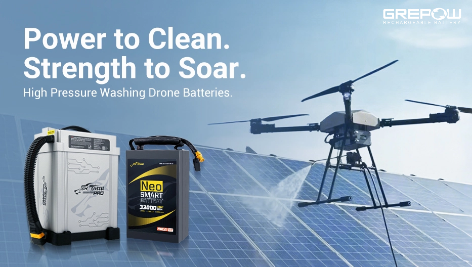
In summary, while both drone mapping and drone surveying share the common goal of capturing aerial data, they diverge significantly in terms of purpose, accuracy, and application. Drone mapping focuses on creating visual representations of landscapes, making it ideal for general monitoring and analysis. In contrast, drone surveying offers the precision necessary for technical projects like construction, engineering, and land surveying. As a global leading lipo battery manufacturer, Grepow offers professional standard and customized UAV battery and NMC battery solutions to meet the needs of all knids of mapping drone and surveying drone applications. If you have any questions or needs, please feel free to contact us at info@grepow.com.


Related Articles
-
How to Choose Battery for a Washing Drone?
2025-07-08 -

The Evolution and Challenges of Low-Altitude Economy
2025-07-01 -
Drone Batteries: A Comprehensive Guide
2025-06-23
Related products
-
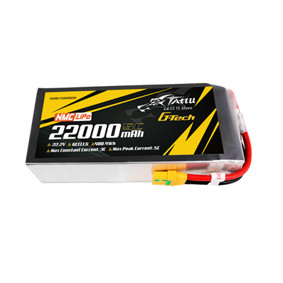
22000mAh 22.2V 6S Semi-Solid State Battery Pack with G-Tech
-
30000mAh 22.2V 6S Semi-Solid State Battery Pack with G-Tech
-
17000mAh 22.2V 6S Semi-Solid State Battery Pack with G-Tech
Comment(0)
Comment( Your email address will not be disclosed. Required fields are marked as * )