


3D Mapping Drone Helps Create The Popular Game Black Myth: Wukong
On August 20, the highly anticipated game Black Myth: Wukong was released, hailed as China's first AAA title. Utilizing cutting-edge technology like real-time 3D reconstruction, the game breathes new life into traditional Chinese architecture, offering players a cultural journey that transcends time and space.
In the past, traditional game models were limited by technology, often resulting in rigid and lifeless representations. The massive workload of modeling could take years to complete, with high costs. However, the advancement of drone aerial surveying has revolutionized game modeling. Unlike manual hand-drawing, drone-based 3D modeling is more accessible, relying on photography to create models. These models are not only more comprehensive and detailed but also accurately capture the textures of real-world scenes on a 1:1 scale. By combining drone technology with 3D modeling software, building game worlds has become more cost-effective, precise, and immersive.

In this article, we'll explain the knowledge about 3D drone mapping and photogrammetry, including what a drone 3D mapping is, why drone 3D mapping can be achieved , and how to create a 3D model from drone images.
What is drone photogrammetry and 3D mapping?
At its most basic, “photogrammetry” is the science of measuring real-life distances from photos. And not just some photos—a LOT of photos. More photos than you probably think are necessary. Think of your parents taking pictures of you and your date before prom. More photos equal higher accuracy, and you need every angle possible.
Drone 3D mapping refers specifically to the process of capturing oblique images by drones through the use of laser scanning and aerial photogrammetry techniques. A 3D model is created by drawing individual points on the X, Y, and Z axes of 3D space to create a 3D representation of an object. 3D modeling, on the other hand, uses specialized software to analyze and process the aerial images captured by the drone to create a 3D model with GPS coordinates and precise measurements.
How photogrammetry enables 3D drone mapping?
A drone takes hundreds or even thousands of overlapping aerial photos as it flies over a worksite. Those images are then processed and analyzed using photogrammetry to measure the geography and landscape features of the site. When you combine enough overlapping images of the same features, photogrammetry software can generate photorealistic 3D representations of topographic surfaces and features.
Simply put, the high resolution camera mounted on the drone captures the images, and the photogrammetry software combines those images to create a highly accurate 3D map. If you took an average image from a survey, you'd easily be able to pick out many “features” between different photos. The more features you match in 3D drone mapping, the better you can relate images to one another and reconstruct the objects captured in them.
With literally millions of these features, you can create what’s known as a point cloud, or a three-dimensional set of points, each representing a matched feature to describe your surveyed area to the computer. You can then turn the point cloud into any regular output used in geospatial software, such as 3D mesh or a digital elevation model.
How does drone photogrammetry and 3D mapping work?
Before you can get into the mapping bit, you’ll need to first consider what type of drone will work best for your needs. Quadcopter drones are a popular choice given their portability, ease of use, and accessibility. Here are the basic steps:
●Image Capture: Drones are flown over the area of interest, capturing a series of overlapping images from different angles. The overlap (usually 60-80%) is crucial for creating a complete 3D model.
●Georeferencing: The captured images are tagged with GPS coordinates, either from the drone's onboard GPS or using ground control points (GCPs) placed in the survey area. This ensures that the final model or map is accurately positioned in real-world coordinates.
●Image Processing: The collected images are processed using specialized photogrammetry software. This software stitches the images together by identifying common points in overlapping images, then triangulates these points to calculate their 3D position.
●Point Cloud Generation: The software generates a point cloud, which is a dense collection of 3D points representing the surface of the area surveyed. Each point in the cloud has XYZ coordinates and may also carry color information derived from the images.
●Mesh Creation: From the point cloud, a mesh is created by connecting the points with triangles, forming a continuous surface. This step converts the point cloud into a more structured and visually coherent 3D model.
●Texturing: The mesh is then textured by overlaying the original images onto the model, giving it a realistic appearance. The texture adds details like colors and patterns that were captured in the photographs.
●Final Output: The processed data can be exported into various formats depending on the intended use. For mapping, this could be an orthomosaic (a high-resolution map), digital elevation models (DEMs), or contour lines. For modeling, it could be a fully textured 3D model that can be used in CAD software or 3D visualization tools.
Conclusion
The use of drone 3D mapping in the creation of Black Myth: Wukong exemplifies the transformative impact of modern technology on the gaming industry. By combining advanced photogrammetry and 3D modeling techniques, developers can now bring rich, detailed environments to life with unprecedented accuracy and efficiency. This not only enhances the visual quality and immersion of games but also significantly reduces the time and cost associated with traditional modeling methods.
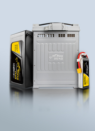
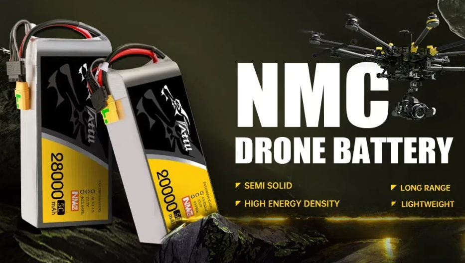
However, to achieve such high-quality filming and modeling, top-notch drone equipment and battery technology are crucial. During the production of Black Myth: Wukong, drones needed to fly steadily over complex terrains and through harsh weather conditions for extended periods, capturing every detail. This placed extremely high demands on the drone's endurance, stability, and battery safety. As a global leader in LiPo battery manufacturing, Grepow offers high-energy-density smart UAV batteries that perfectly meet the needs of mapping drones and aerial photography drones. If you have any questions or needs, please feel free to contact us at info@grepow.com.
Related Articles:
How to Choose an Aerial Photography Drone?
Some Common Sense about Delivery Drones
Agricultural Drone Common Sense
What is a drone light show and how much does it cost?
Firefighting Drones: Technology and Battery Power


Related Articles
-
NMC Battery vs. LCO Battery: What’s the Difference?
2024-10-11 -
Next-Generation eVTOL Battery Technology
2024-08-22 -
eVTOL Battery vs EV Battery: What’s the Difference?
2024-08-21
Related products
-
Tattu Plus 6S 22000mAh 22.2V 25C Lipo Smart Drone Battery
-
Tattu Plus 6S 16000mAh 22.2V 15C Lipo Smart Drone Battery
-
Tattu Plus 6S 12000mAh 22.2V 15C Lipo Smart Drone Battery
-

37000mAh Semi-Solid State High Energy Density Battery
-
35200mAh Semi-Solid State High Energy Density Battery
-
30000mAh Semi-Solid State High Energy Density Battery
-

20000mAh Semi-Solid State High Energy Density Battery
Comment(0)
Comment( Your email address will not be disclosed. Required fields are marked as * )